
Physical & spatial AI / PROPOSED CONCEPT
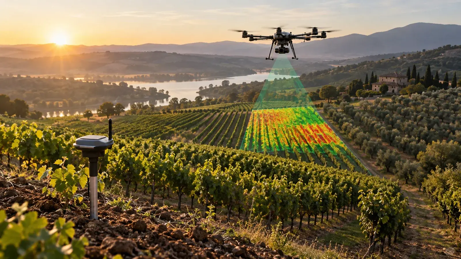
Field intelligence map.
Connect the view from above with the work below.
The opportunity
A real need.
A considered response.
Satellite observations and field notes describe different parts of the same situation. A map can connect them and help a specialist decide where closer inspection is worthwhile.
DESIGNED AROUND
Agricultural operators and agronomy teams monitoring defined plots.
What would this look like for you?
Ask the architect to connect this concept to your systems, or challenge its assumptions.
The experience
What this could make possible.
Time-based imagery review
Field observations
Inspection prioritisation
01
Map permitted plots
→02
Review observation coverage
→03
Compare changes over time
→04
Plan a field inspection
Under the surface
The engineering
behind the experience.
Architecture is a starting hypothesis. Discovery and representative tests decide what belongs in the first build.
POTENTIAL CONNECTIONSEarth-observation dataPlot boundariesField survey records
01Architecture to explore+
- Geospatial dataset pipeline
- Cloud and coverage quality checks
- A plot-based mobile and desktop interface
02Integration dependencies+
Earth-observation data, Plot boundaries, Field survey records. Confirm access, data ownership, update frequency and failure behaviour during discovery.
03Validation and human control+
Check geographic coverage, observation quality and agreement with field evidence. Remote signals are not a diagnosis or treatment instruction; local agronomic review remains necessary.
A useful first step
Start small.
Learn something real.
One crop and region with local agronomist input and ground-truth observations.
Evidence to look for
Check geographic coverage, observation quality and agreement with field evidence.
A boundary to design for
Remote signals are not a diagnosis or treatment instruction; local agronomic review remains necessary.
Proposed scope, not a delivery commitment. Data, permissions, operational constraints and sector requirements need review before implementation.
Connected capabilities
Data Engineering & Decision SystemsMachine Learning & Computer VisionMobile Application DevelopmentResearch behind the direction
Google for DevelopersAgricultural Understanding Platform ↗These sources inform technical possibilities. They do not demonstrate a Tomatrix deployment or endorse this proposed product.
From possibility to a conversation
Make this
your starting point.
Add a little context. Preview a practical brief, then keep it for a conversation with Tomatrix.
Built locally from this concept. No AI service is called and nothing is submitted. Please leave out confidential information.
Preview your concept brief
PRODUCT EXPLORATION: Field intelligence map

Status: Proposed concept — scope and feasibility to be agreed.

Our context:
To be discussed.

Who this could help:
Agricultural operators and agronomy teams monitoring defined plots.

A useful first pilot:
One crop and region with local agronomist input and ground-truth observations.

What to evaluate:
Check geographic coverage, observation quality and agreement with field evidence.

Important boundary:
Remote signals are not a diagnosis or treatment instruction; local agronomic review remains necessary.

Integrations to explore:
Earth-observation data, Plot boundaries, Field survey records

Concept reference: /products/agriculture-intelligence
Keep exploring
Related possibilities.
PROPOSED CONCEPT
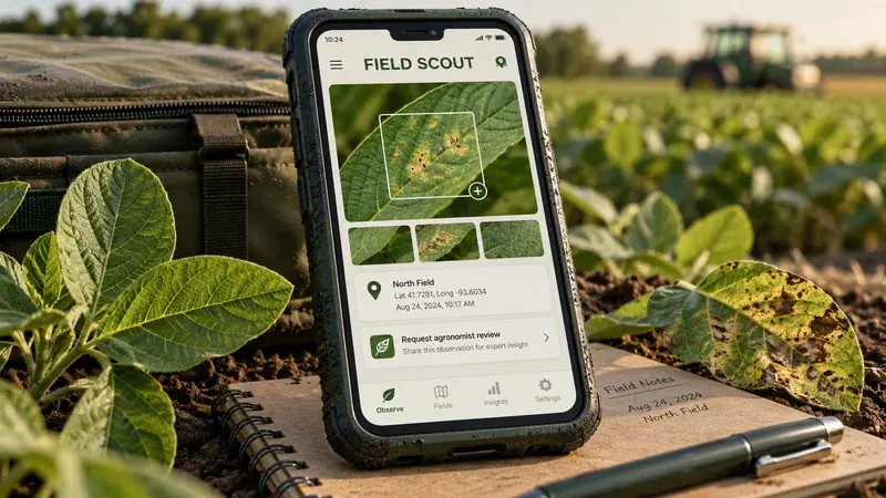
Crop scouting review app ↗
Structured field observations. Image-assisted symptom grouping.
PROPOSED CONCEPT
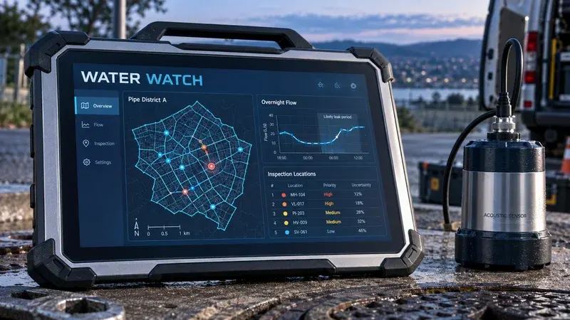
Water loss investigation desk ↗
District flow evidence. Meter-quality checks.
PROPOSED CONCEPT
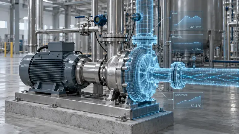
Industrial digital twin ↗
Explore the change before making it physical.