
Data & decision systems / PROPOSED CONCEPT
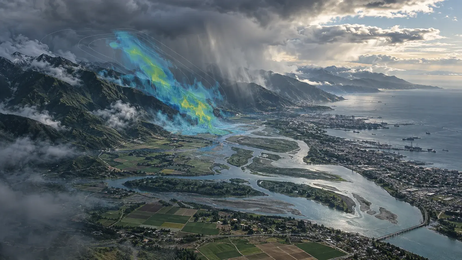
Climate planning lens.
Explore exposure. Keep uncertainty visible.
The opportunity
A real need.
A considered response.
A forecast alone does not explain which operation is exposed. A planning lens connects selected weather data to locations and operating thresholds without concealing uncertainty.
DESIGNED AROUND
Planning teams comparing weather exposure across assets or locations.
What would this look like for you?
Ask the architect to connect this concept to your systems, or challenge its assumptions.
The experience
What this could make possible.
Scenario overlays
Forecast provenance
Planning notes and exports
01
Define the planning question
→02
Connect licensed data
→03
Compare exposure scenarios
→04
Review uncertainty and actions
Under the surface
The engineering
behind the experience.
Architecture is a starting hypothesis. Discovery and representative tests decide what belongs in the first build.
POTENTIAL CONNECTIONSWeather-data providerAsset-location recordsGIS platform
01Architecture to explore+
- Geospatial asset layer
- Weather-data ingestion and versioning
- Scenario calculations with explicit assumptions
02Integration dependencies+
Weather-data provider, Asset-location records, GIS platform. Confirm access, data ownership, update frequency and failure behaviour during discovery.
03Validation and human control+
Assess local data suitability, calibration and whether decisions change usefully. Planning support is not an emergency-warning service. Local scientific validation is essential.
A useful first step
Start small.
Learn something real.
One region, one weather variable and a retrospective comparison with observed events.
Evidence to look for
Assess local data suitability, calibration and whether decisions change usefully.
A boundary to design for
Planning support is not an emergency-warning service. Local scientific validation is essential.
Proposed scope, not a delivery commitment. Data, permissions, operational constraints and sector requirements need review before implementation.
Research behind the direction
NVIDIAEarth-2 family of open weather models ↗These sources inform technical possibilities. They do not demonstrate a Tomatrix deployment or endorse this proposed product.
From possibility to a conversation
Make this
your starting point.
Add a little context. Preview a practical brief, then keep it for a conversation with Tomatrix.
Built locally from this concept. No AI service is called and nothing is submitted. Please leave out confidential information.
Preview your concept brief
PRODUCT EXPLORATION: Climate planning lens

Status: Proposed concept — scope and feasibility to be agreed.

Our context:
To be discussed.

Who this could help:
Planning teams comparing weather exposure across assets or locations.

A useful first pilot:
One region, one weather variable and a retrospective comparison with observed events.

What to evaluate:
Assess local data suitability, calibration and whether decisions change usefully.

Important boundary:
Planning support is not an emergency-warning service. Local scientific validation is essential.

Integrations to explore:
Weather-data provider, Asset-location records, GIS platform

Concept reference: /products/climate-resilience
Keep exploring
Related possibilities.
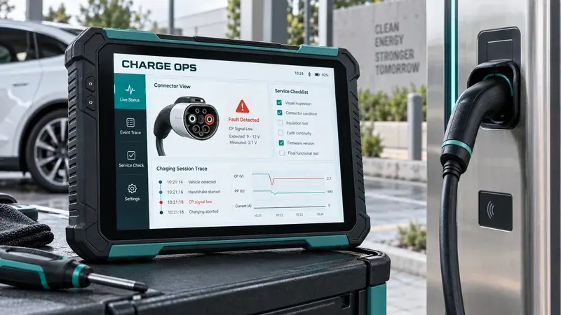
PROPOSED CONCEPT
EV charging assurance desk ↗
Failed-session investigation. Connector health context.
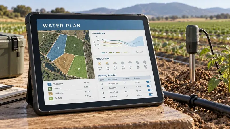
PROPOSED CONCEPT
Irrigation scenario planner ↗
Field-zone water context. Moisture and forecast comparison.
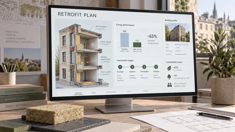
PROPOSED CONCEPT
Retrofit evidence planner ↗
Building baseline review. Intervention comparison.