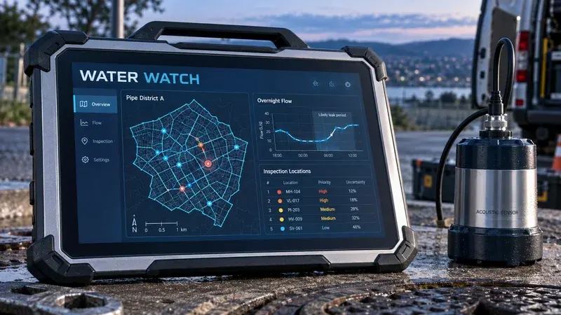
Unusual flow can reflect leakage, demand changes or faulty meters. A review desk can combine district measurements and pipe history to prepare a better field investigation.
District meter telemetryGIS pipe inventoryWork-order system
A forecast alone does not explain which operation is exposed. A planning lens connects selected weather data to locations and operating thresholds without concealing uncertainty.
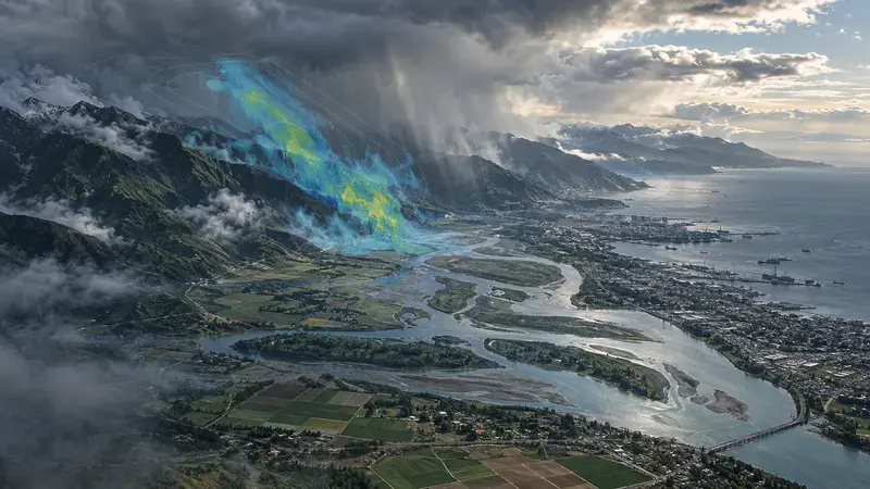
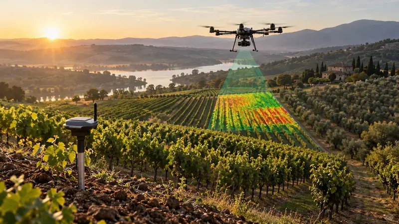
Satellite observations and field notes describe different parts of the same situation. A map can connect them and help a specialist decide where closer inspection is worthwhile.
Earth-observation dataPlot boundariesField survey records
Compare up to three concepts before choosing where to start.
Use “Compare” on a concept to add it here.
These are opportunities to explore with Tomatrix, not a catalogue of released software. Technology fit, data access, delivery scope and sector requirements are assessed together.
A little direction goes a long way
What could you build next?
Start with the work you want to improve. Explore a few relevant concepts and what it would take to test one.
Private, rule-based guidance. No account. No AI processing. No form submission.
START WITH A FEASIBILITY CONVERSATION
Matched to your priority. Map the current work and available data before choosing a technology.
Our technology radar connects these concepts to published engineering patterns and current platform capabilities. It also makes the limits and unanswered questions visible.